The LaChute River lies within the confines of the Town of Ticonderoga. It's a pretty significant body of water though it may not be very long; about 4 miles or so. It connects the northern tip of Lake George to Lake Champlain. The river is incredibly steep dropping over 200 feet from the time it leaves Lake George to where it dumps downstream over the final falls in the town's Bicentennial Park, about 3miles. This drop is comparable to NiagaraFalls! For those 3 miles water races over broken dams, through and over penstocks, cascades over ledges and boulders, and creates a captivating series of waterfalls and rapids. Overall itseems in a major hurry to reach Lake Champlain.
The LaChute runs right through many backyards of the hamlet, past parks,alongside businesses and streets; through the actual heart of Ticonderoga. It crosses Montcalm Street in the downtown area and then makes its
way more calmly to Lake Champlain after tumbling over Bicentennial Falls,
located in the park bearing the same name. After that it becomes much flatter as it calmly empties into Lake Champlain rightnear Fort Ticonderoga. The lower end of the river makes for a greatpaddle and a car-top boat launch near the covered "Kissing Bridge" inthe park, grants you just that opportunity.
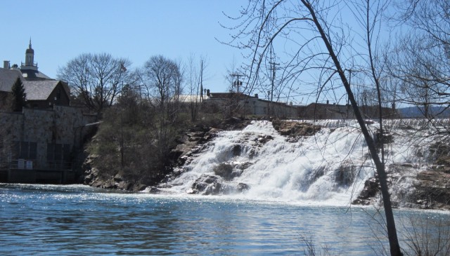
I chose a sunny 60s degree April day to escape office confines and explore the LaChute River Walk Trail. Creating the trail was the brainstorm of PRIDE of Ticonderoga, a rural preservation company that excels at revitalizing the downtowns of small communities. What a fantastic idea to capitalize on the river presence and create such a recreational asset, a great deal of which is a mere block from downtown Ticonderoga's mainstreet. It's no coincidence that this powerful river is in the downtown; it's the power of the river that drew and developed the community along its banks. No longer is this water powering a variety of mills, yet the historical evidence of the water-washed dams and penstocks
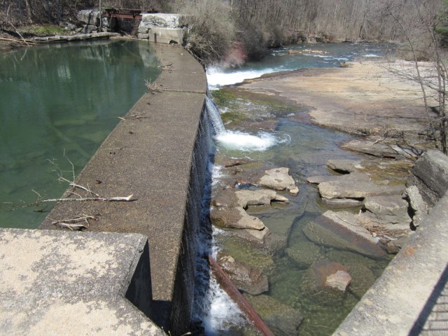
continue to contribute to the river's character today. Incorporated into the overall scheme of the trail are the man-made foundations, platforms, abutments; remnants of the former mills, that provide not only artistic interest, but great viewing platforms and vantage points.
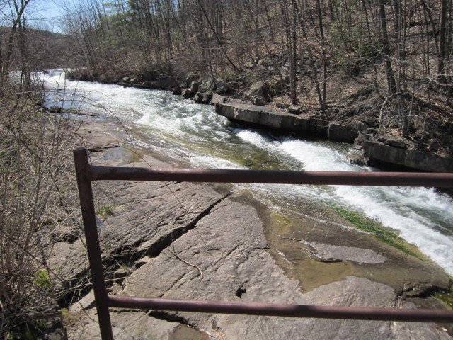
I accessed the trail right where it crosses Montcalm Street. There, a landscaped mini-park offers interpretive signage including a trail map and a bit of local history. Beginning here, almost midway, I had my choice of two loops, the upper and lower trails. I headed downstream toward the Bicentennial Falls. At this Montcalm entrance the trail is paved, but along the route I encountered gravel, water-worn ledge rock,dirt and even a wooden footbridge.
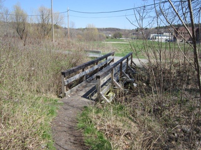
I found the diversity of the trailsurface made things more interesting. What's around the nextcorner? It contributed to the trail's personality and made the trek more enjoyable overall.
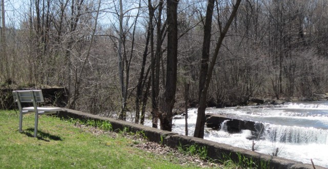
Spring is an ideal time to investigate any of the Lake Champlain Region's many streams, creeks, or rivers. Loaded with spring run-off and seasonal rains,these flowing bodies of water are at their peak, rushing toward their destination, slapping at their banks, filling little side pools and tributaries. Trees and underbrush have yet to leaf out so views of the river remain unobstructed; glimpses of early wildflowers and scurrying wildlifeare abundant. The LaChute's roar smothers the world beyond. It commands your attention and respect. The sounds of busy community life in thedowntown, though just steps away, are muffled into insignificance. It was just the spring tonic and escape I needed.
My four-legged trail companion launched into high speed exploration mode as soon as we hit the trail caught up in the trail's scurrying natural activity. But, I find moving water mesmerizing. I wanted topause, linger, and ponder what used to align this river's banks. I wanted to watch the water cast its diamond-like sparkles as it splashed through the rapids and over the falls. We compromised. I agreed not tosit at every strategically placed bench providing a phenomenal view and a stress-free thinking spot.
He agreed to pause and wait for me at each of the 12 interpretive trailside panels which gave me some insight and appreciation of just how important this river has been throughout the history of Ticonderoga.
Experience the LaChute River Walk Trail. Obtain a trail map at the Ticonderoga Heritage Museum, the Ticonderoga Area Chamber of Commerce, or the Lake Champlain Visitors Center.


