Living in the Adirondacks means that we have a glut of options when it comes to trails. From anywhere in Lake Placid you can ride to several great trail networks. A short drive away Wilmington has miles and miles of quality trails. Whiteface Mountain has lift service downhill and now there is a gravity trail at Mount Pisgah in Saranac Lake. But as much as I love lapping the trails that I know well, I love exploring new trails even more.
In my circle of mountain biking friends, I’ve heard murmurs and whispers about new trails being built in the Blueberry Hill Trail System. Being trail builders ourselves, it’s always great to hear that others are catching “shovel fever.”
Author’s Note: “Shovel Fever” is not a thing. I just made that up.
Blueberry Hill is one of the many trail systems maintained by Champlain Area Trails or CATS. They have great maps that are available in PDF form, which can be conveniently downloaded to your phone before you go. So this morning I left home around 7 am and made my way to Blueberry Hill. I had my bike, coffee, some bananas, a PDF map, and some vague directions as to where the good stuff was. The makings of a great adventure! My sources had told me that it was better to access the trails off of Bronson Way instead of the first trailhead on Lord Road. What that source neglected to mention was the fact that there were FIVE parking areas on Bronson. Not to be one who does something halfway, I decided to drive all the way through to the last parking area. Bronson quickly becomes a rough gravel road, but it was fine in my Ford Focus, so whatever you’re driving will probably be okay. It wasn’t until after I passed a sand lot that things got dicy. But if you go slow and pick your way up the road, you should be fine.
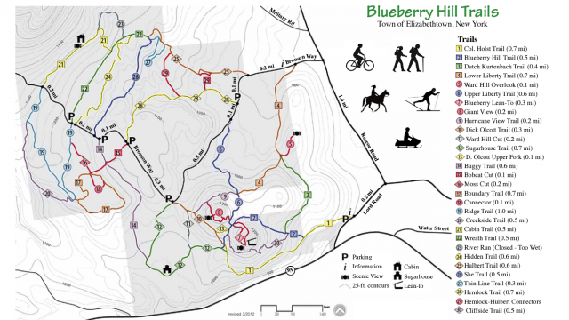
I was really pleased with the signage in Blueberry Hill. Every parking area is clearly marked with a sign and all the trails have large wooden signs and blazes. With the map it was very easy to figure out where I was - which was good because there is not much cell reception. I was able to use the tracking app on my phone, but not cruise Facebook and watch YouTube videos of cats. Sort of a win-win situation there.
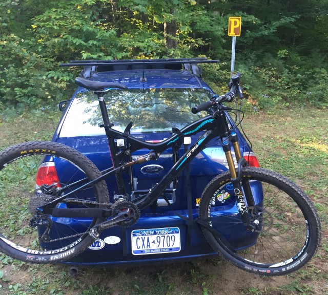
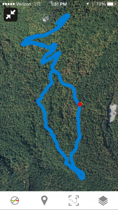
I decided to drive to the last parking area on Bronson Way because one of the tidbits of information indicated the trails that were better for mountain biking were on “the backside” of the area. The last parking area has several options: Two were logging roads that went north and seemed relatively flat, the other was the Ridge Trail which seemed to cover more interesting topography. The grade of the trail was fairly directional, meaning that, depending on which way you’re going, it’s either all up hill or all downhill. But the gravel road I came in on continued up another 2/10th of a mile and intersected the Ridge Trail on the uphill side. Getting all of the climbing out of the way seemed like a good idea to me, so I started pedaling up the road to the next trail intersection. The climb was very manageable with only two spots that were really steep. Within ten minutes or so I was up at the top end of the Ridge Trail. Just before I turned to go do the trail I noticed that the other side of the road had two trails instead of the one that was indicated on the map. This newer trail had more of the singletrack characteristics I was looking for. A brief glance down the trail showed mountain bike tire tracks, meaning this was the trail that I was looking for! Huzzah!
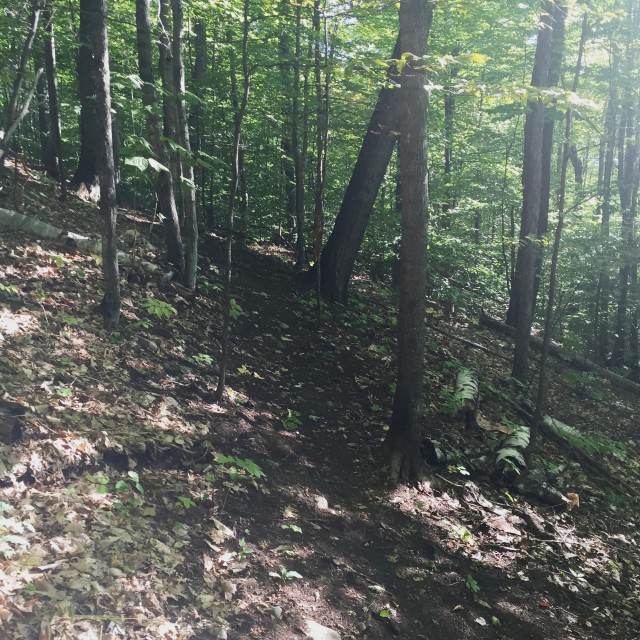
Let me just say this: this trail was laid out by a genius. And I don’t mean that sarcastically. It’s a REALLY well-planned trail. From the road, it’s all uphill, but the trail gently winds and switchbacks its way up the hillside. I’m not a great climber when it comes to mountain biking and I found the climb very doable. So if you’re even an average biker you will be fine. This is a new trail and rides like one. There are some loose spots and some spots that need some bench cutting, but the work that has been done is fantastic. I’m not a betting man, but I would wager that this trail will be a classic when it’s finished.
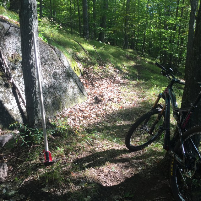
I passed some tools that were set aside. This tells me that there are some dedicated volunteers that have some big plans for this place. I climbed and climbed and climbed. The app on my phone said that I had climbed almost 500 feet from the intersection. I think that I had ridden past where the workers had stopped because the trail ahead looked more like a footpath. Up the hill I could see the rocky outcroppings of the summit. Rather than hike-a-bike an unknown trail to the top, I decided that it was time to see what this trail was like in the other direction. Even though the climb was fairly gentle, I put my suspension in “downhill mode” and dropped my seat down. And boy am I glad that I did!
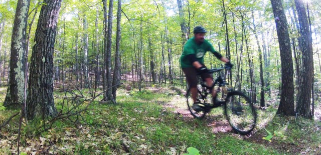
This trail is a blast going downhill! Because of its gentle grade, it’s easy to keep your speed in check, but it’s just as easy to let off the brakes and let’er rip! Once this trail is completed it’s going to be perfect for anyone who likes to go fast. There were even a couple of small rock garden sections to jump.
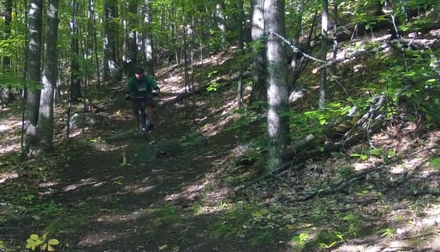
After reaching the road again, I crossed it and started down the Ridge Trail. This trail is on the map, and it’s clearly a well-established path. It looks like it might have been an old logging road, but those characteristics have long faded and now it rides more like a really wide singletrack trail. It’s a little rocky in spots, but you can easily dodge the big ones or bunny hop over them.
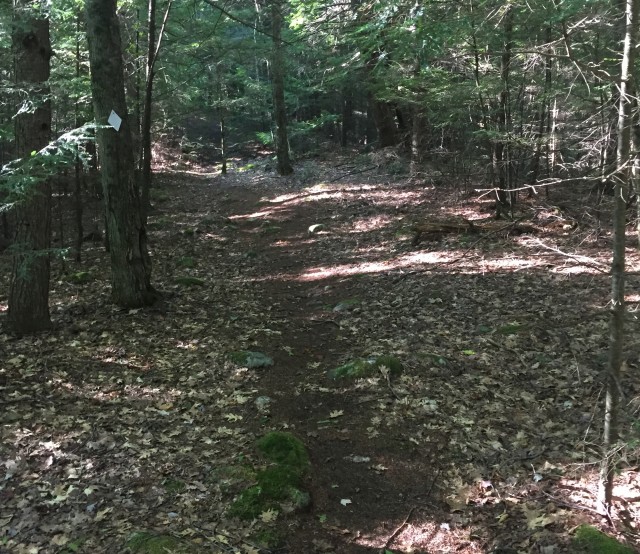
The gradient on this trail is very easy, but consistent. I was able to stay in an upper gear the whole time and easily keep my speed. The trail passes through a beautiful evergreen forest and made for a great followup to the newer trail across the road.
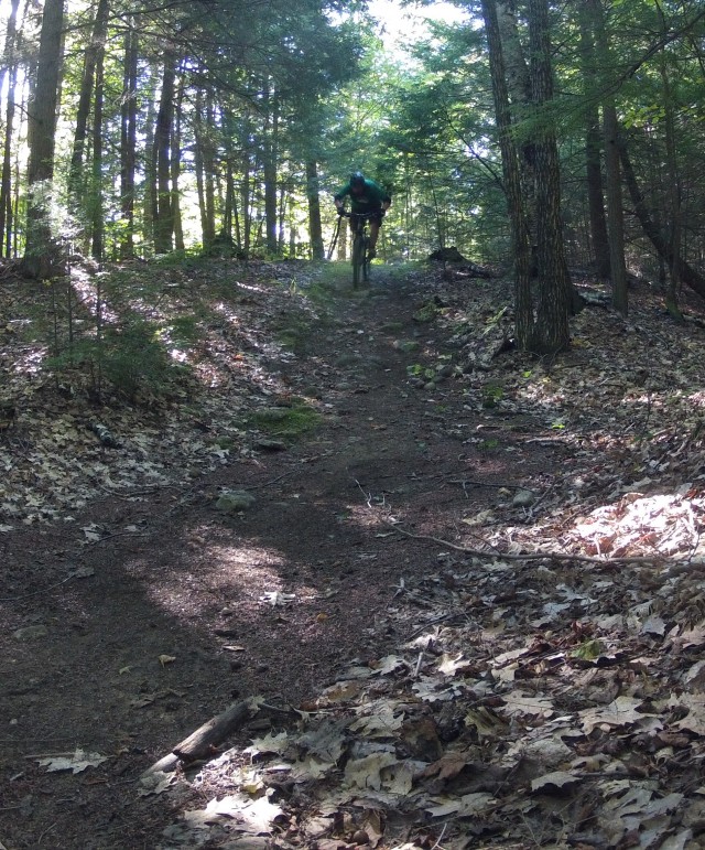
Before too long I was back at my car. Unfortunately, I had appointments that day and couldn’t keep exploring this great area, but I can’t wait to go back.
When you go (notice I didn’t say “if”), make sure you have at least a half-day. Not because the trails take a long time, but because you’ll want to ride them all over and over and over again! I rode for about an hour (plus stops for exploring and photos), and I barely scratched the surface.
Author’s Note: Elizabethtown is only a couple of miles down the road. It’s a great place to gas up your car and your body! In fact, the whole region has a lot of options to fuel your mountain-bike-engine!


